Company highlights equipment and tools used, applications and the Leica RTC360

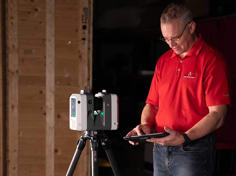
Exact Metrology employee with Leica RTC360
Exact Metrology, a comprehensive 3D metrology service provider and hardware sales company, offers a variety of long range (20 feet to entire facilities) high-definition technologies. The company uses high quality equipment from Leica, a Hexagon Metrology company, and Surphaser®.
The tool of choice for long range scanning is LIDAR (Light Detection and Ranging) scanners. It’s a remote sensing method used to detect objects in 3D space similar to the technology used in autonomous self-driving vehicles. A highly accurate and effective surveying method, it uses light in the form of a pulsated laser to measure variable distances.
Long range scanners are typically set up in multiple locations to collect very large data sets. The data set from each location generates a point cloud and each of the point clouds are stitched together to create a 3D space. The stitched point cloud data is then sent directly to the customer or 3D models of the areas are generated to work in any CAD environment. The ability to implement CAD modeling allows tasks to be completed in a fraction of the time as opposed to manual drafting. It also eliminates the need to revisit the area to get that dreaded forgotten measurement or extra detail.
Generally, the CAD models are used for factory/shop floor layout plans, power plant equipment change outs, proof dimensioning and much more. The same data set can also be reused for multiple purposes. It is ideal for large scale interior or exterior buildings, statues and historic architecture preservation.

Leica Cyclone FIELD 360 app in use during a scan
In addition to the 3D model, full spherical HDR imagining is attached directly to the point cloud giving a photo realistic effect of the data and allowing for virtual walkthroughs of the areas, shareable markups, geo-referencing and meta-tagging. This data can be shared with an unlimited user base via a freeware software.
The Leica RTC360 3D reality capture solution can be controlled through the Leica Cyclone FIELD 360, app, allowing a real time visual of all the customer’s setups and the ability to optimize links of each individual scan to all the setups.
Known for its unsurpassed accuracy and scan quality, long range scanning is ideal for use in reverse engineering, dimensional control, historical preservation, architecture and forensics.


