HEXAGON (LEICA) GEOSYSTEMS
LONG RANGE SCANNERS
LONG RANGE SCANNERS
3D Scanning Services
3D SCANNING SERVICES
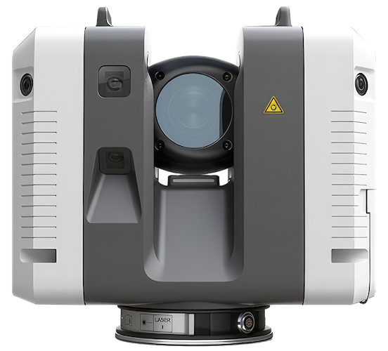
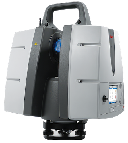
HEXAGON (LEICA) ABSOLUTE LONG RANGE SCANNER
Capture Detailed, 360º Snapshots of Large Structures
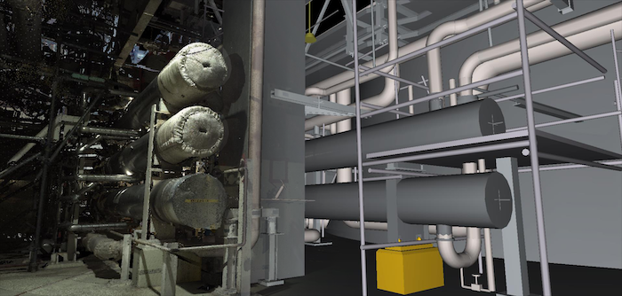
Hexagon (Leica) Geosystems long range laser scanners are perfect for capturing 3D geometry of large infrastructures, developing an as-built representation of large buildings, bridges, structures, power plants, and more. Solutions from Hexagon (Leica) Geosystems deliver the highest quality of imaging at fast scan rates up to 1 million points per second – all from safe distances of dangerous and hard-to-reach environments.
Get critical documentation about complex structures as well as projects or facilities under construction for any industry with these tools in hand:
The Leading Software for Hexagon (Leica) Long Range Scanners
Hexagon (Leica) Cyclone is the market-leading point cloud processing software. It is a line of software modules that provides the widest set of work process options for 3D laser scanning projects in engineering, surveying, construction and related applications.
